607 Milford Street
607 Milford St.

Click image to enlarge
This is how 607 Milford Street appeared in the Spring of 2009 when it was listed to Leroy Wilson.
Contributed by rkohler3 on 9/23/09 - Image Year: 2009
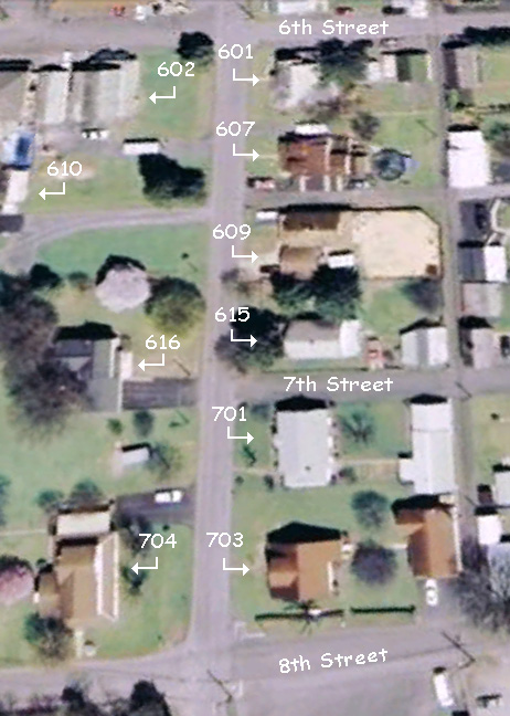
This house sits on the south side of Milford Street.
At the time of the conveyance of the 601 property from the heirs of John Lewis Maffett to Paul R. and Mary (Fulton) Johnson in 1937, this property that is to the immediate west, was owned by Harvey L. Maffett, son of J. L. Maffett. Prior to Harvey, the property had been owned by John M. and Jennie (Rudy) McManigal.
Eventually it became the home of Leroy "Sam" and Sonja (Kepner) Wilson.
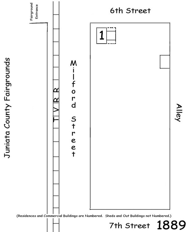
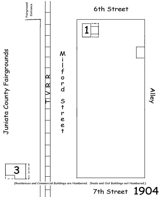
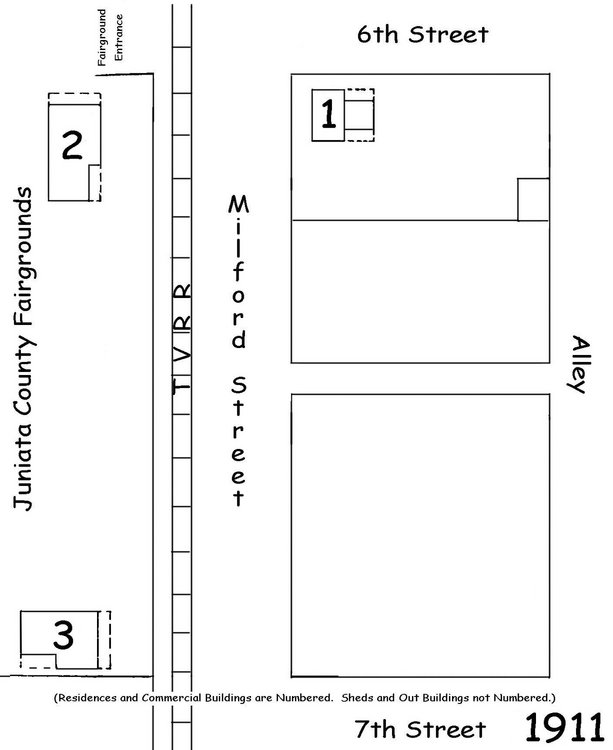
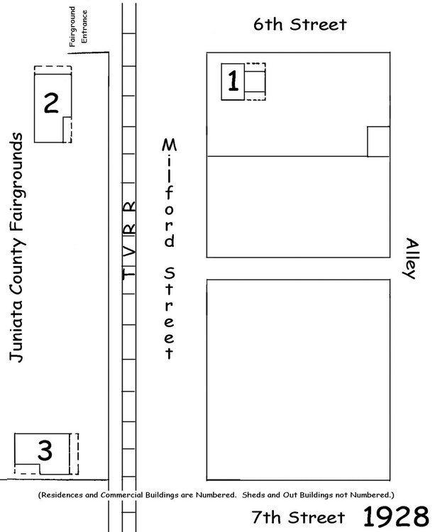
(This house must have been built after 1928 since it doesn't appear on the Sanborn Fire Insurance map of that year.)
At the time of the conveyance of the 601 property from the heirs of John Lewis Maffett to Paul R. and Mary (Fulton) Johnson in 1937, this property that is to the immediate west, was owned by Harvey L. Maffett, son of J. L. Maffett. Prior to Harvey, the property had been owned by John M. and Jennie (Rudy) McManigal.
Eventually it became the home of Leroy "Sam" and Sonja (Kepner) Wilson.
(This house must have been built after 1928 since it doesn't appear on the Sanborn Fire Insurance map of that year.)