513 Milford Street

513 Milford St.

← Back to Port Royal Places

This is how 513 Milford Street appeared in the Spring of 2009 when it was listed to Terry Wagner.
Click image to enlarge
This is how 513 Milford Street appeared in the Spring of 2009 when it was listed to Terry Wagner.
Contributed by rkohler3 on 9/22/09 - Image Year: 2009
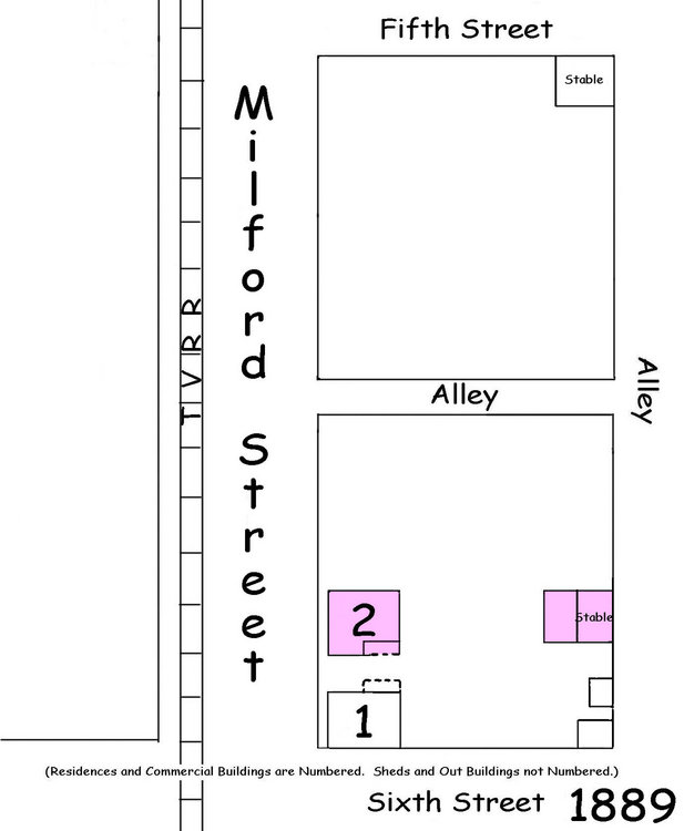
This house sits across Milford Street from McBarney's Restaurant. (This house was constructed prior to 1889 because it appears on the Sanborn Fire Insurance Map of that year.)
Photos & Comments

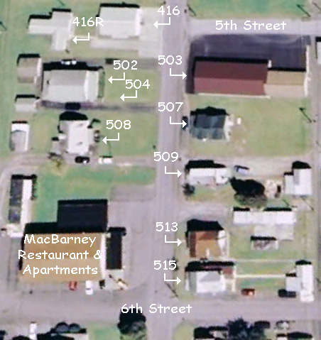
MILFORD STREET: an aerial view of Milford Street between the intersections with Fifth and Sixth Streets as represented by Google Earth.
Contributed by rkohler3 on 5/23/14 - Image Year: 2007
MILFORD STREET: an aerial view of Milford Street between the intersections with Fifth and Sixth Streets as represented by Google Earth.
This map shows the 500 block of Milford (North) Street as it appeared in 1889. This house is represented as house #2 on the map.
Contributed by rkohler3 on 11/13/09 - Image Year: 1889
This map shows the 500 block of Milford (North) Street as it appeared in 1889. This house is represented as house #2 on the map.
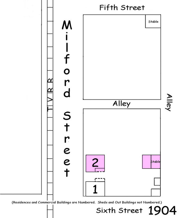
This map shows the 500 block of Milford (North) Street as it appeared in 1904. This house is represented as house #2 on the map.
Contributed by rkohler3 on 11/13/09 - Image Year: 1904
This map shows the 500 block of Milford (North) Street as it appeared in 1904. This house is represented as house #2 on the map.
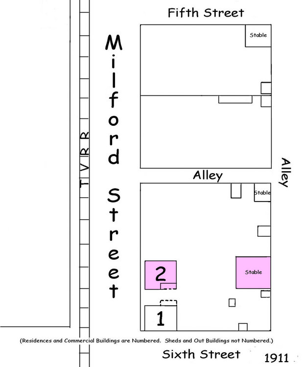
This map shows the 500 block of Milford (North) Street as it appeared in 1911. This house is represented as house #2 on the map.
Contributed by rkohler3 on 11/13/09 - Image Year: 1911
This map shows the 500 block of Milford (North) Street as it appeared in 1911. This house is represented as house #2 on the map.
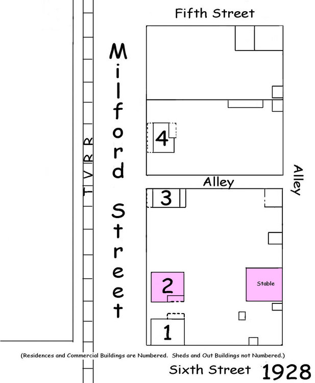
This map shows the 500 block of Milford (North) Street as it appeared in 1928. This house is represented as house #2 on the map.
Contributed by rkohler3 on 11/13/09 - Image Year: 1928
This map shows the 500 block of Milford (North) Street as it appeared in 1928. This house is represented as house #2 on the map.