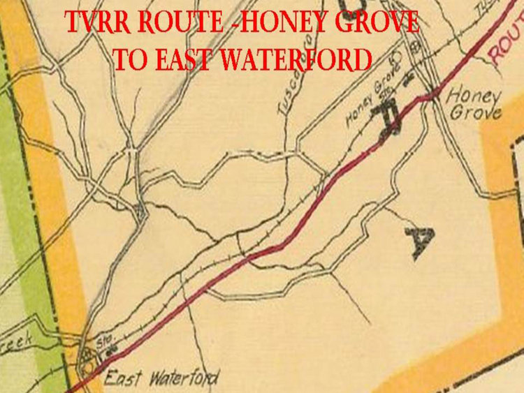
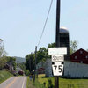
 | Contributed by rkohler3 on 3/31/13 - Image Year: 2012 |
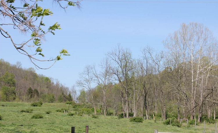
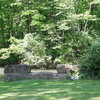
 | Contributed by ray on 3/31/13 - Image Year: 2012 |
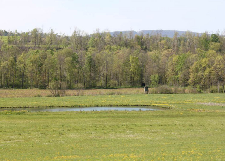
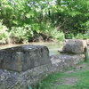
 | Contributed by ray on 3/31/13 - Image Year: 2012 |
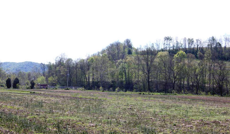
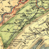
 | Contributed by ray on 3/31/13 - Image Year: 2012 |
 | Contributed by ray on 3/31/13 - Image Year: 2012 |
 | Contributed by ray on 3/31/13 - Image Year: 2012 |
 | Contributed by ray on 3/31/13 - Image Year: 2012 |
 | Contributed by ray on 3/31/13 - Image Year: 2012 |
 | Contributed by ray on 3/31/13 - Image Year: 2012 |
 | Contributed by ray on 3/31/13 - Image Year: 2012 |
 | Contributed by ray on 3/31/13 - Image Year: 2012 |
 | Contributed by ray on 3/31/13 - Image Year: 2012 |
 | Contributed by ray on 3/31/13 - Image Year: 2012 |
 | Contributed by ray on 3/31/13 - Image Year: 2012 |
 | Contributed by ray on 3/31/13 - Image Year: 2012 |
 | Contributed by ray on 3/31/13 - Image Year: 2012 |
 | Contributed by ray on 3/31/13 - Image Year: 2012 |
 | Contributed by ray on 3/31/13 - Image Year: 2012 |
 | Contributed by ray on 3/31/13 - Image Year: 2012 |
 | Contributed by ray on 3/31/13 - Image Year: 2012 |
 | Contributed by ray on 3/31/13 - Image Year: 2012 |
 | Contributed by ray on 3/31/13 - Image Year: 2012 |
 | Contributed by ray on 3/31/13 - Image Year: 2012 |
 | Contributed by ray on 3/31/13 - Image Year: 2012 |
 | Contributed by ray on 3/31/13 - Image Year: 2012 |
 | Contributed by ray on 3/31/13 - Image Year: 2012 |
 | Contributed by ray on 3/31/13 - Image Year: 2012 |
 | Contributed by ray on 3/31/13 - Image Year: 2012 |
 | Contributed by ray on 3/31/13 - Image Year: 2012 |
 | Contributed by ray on 3/31/13 - Image Year: 2012 |
 | Contributed by ray on 3/31/13 - Image Year: 2012 |
 | Contributed by ray on 3/31/13 - Image Year: 2012 |
 | Contributed by ray on 3/31/13 - Image Year: 2012 |
 | Contributed by ray on 4/1/13 - Image Year: 2012 |
 | Contributed by ray on 4/1/13 - Image Year: 2012 |
 | Contributed by ray on 4/1/13 - Image Year: 2012 |
 | Contributed by ray on 4/1/13 - Image Year: 2012 |
 | Contributed by ray on 4/1/13 - Image Year: 2012 |
 | Contributed by ray on 4/1/13 - Image Year: 2012 |
 | Contributed by ray on 4/1/13 - Image Year: 2012 |
 | Contributed by ray on 4/1/13 - Image Year: 2012 |
 | Contributed by ray on 4/1/13 - Image Year: 2012 |
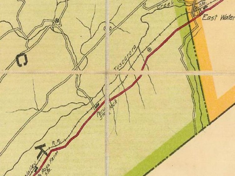
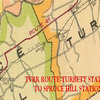 | Contributed by ray on 4/1/13 - Image Year: 1920 |
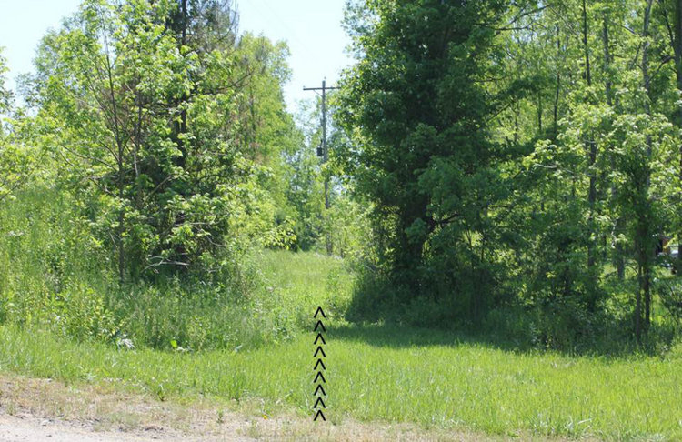
 | Contributed by ray on 4/1/13 - Image Year: 2012 |
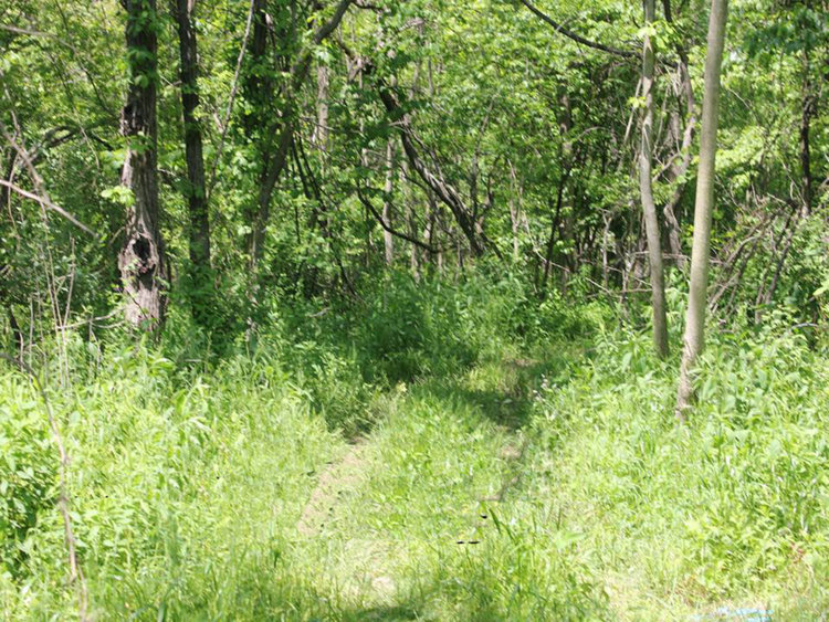
 | Contributed by ray on 4/1/13 - Image Year: 2012 |
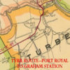 | Contributed by ray on 4/1/13 - Image Year: 1920 |
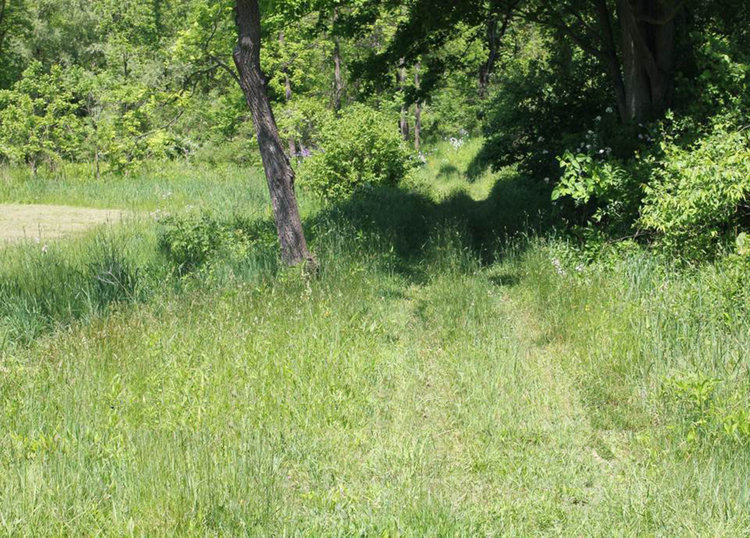
 | Contributed by ray on 4/1/13 - Image Year: 2012 |
 | Contributed by ray on 4/1/13 - Image Year: 2012 |
 | Contributed by ray on 4/1/13 - Image Year: 2012 |
 | Contributed by ray on 4/1/13 - Image Year: 2012 |
 | Contributed by ray on 4/1/13 - Image Year: 2012 |
 | Contributed by ray on 4/1/13 - Image Year: 1920 |
 | Contributed by ray on 4/1/13 - Image Year: 2012 |
 | Contributed by ray on 4/1/13 - Image Year: 2012 |
 | Contributed by ray on 4/1/13 - Image Year: 2012 |
 | Contributed by ray on 4/1/13 - Image Year: 2012 |
 | Contributed by ray on 4/1/13 - Image Year: 2012 |
 | Contributed by ray on 4/1/13 - Image Year: 2012 |
 | Contributed by ray on 4/1/13 - Image Year: 2012 |
 | Contributed by ray on 4/1/13 - Image Year: 2012 |
 | Contributed by ray on 4/1/13 - Image Year: 2012 |
 | Contributed by ray on 4/1/13 - Image Year: 2012 |
 | Contributed by ray on 4/1/13 - Image Year: 2012 |
 | Contributed by ray on 4/1/13 - Image Year: 1920 |
 | Contributed by ray on 4/2/13 - Image Year: 2012 |
 | Contributed by ray on 4/2/13 - Image Year: 2012 |
 | Contributed by ray on 4/2/13 - Image Year: 2012 |
 | Contributed by ray on 4/2/13 - Image Year: 1920 |
 | Contributed by ray on 4/2/13 - Image Year: 2012 |
 | Contributed by ray on 4/2/13 - Image Year: 2012 |
 | Contributed by ray on 4/2/13 - Image Year: 2012 |
 | Contributed by ray on 4/2/13 - Image Year: 2012 |
 | Contributed by ray on 4/2/13 - Image Year: 2012 |
 | Contributed by ray on 4/2/13 - Image Year: 2012 |
 | Contributed by ray on 4/2/13 - Image Year: 2012 |
 | Contributed by ray on 4/2/13 - Image Year: 1920 |
 | Contributed by ray on 4/2/13 - Image Year: 2012 |
 | Contributed by ray on 4/2/13 - Image Year: 2012 |
 | Contributed by ray on 4/2/13 - Image Year: 2012 |
 | Contributed by ray on 4/2/13 - Image Year: 2012 |
 | Contributed by ray on 4/2/13 - Image Year: 2012 |
 | Contributed by ray on 4/2/13 - Image Year: 2012 |
 | Contributed by ray on 4/2/13 - Image Year: 1920 |
 | Contributed by ray on 4/2/13 - Image Year: 2012 |
 | Contributed by ray on 4/2/13 - Image Year: 2012 |
 | Contributed by ray on 4/2/13 - Image Year: 2012 |
 | Contributed by ray on 4/2/13 - Image Year: 1920 |